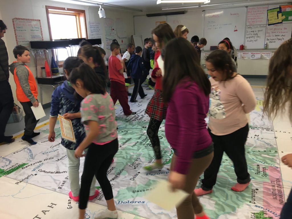
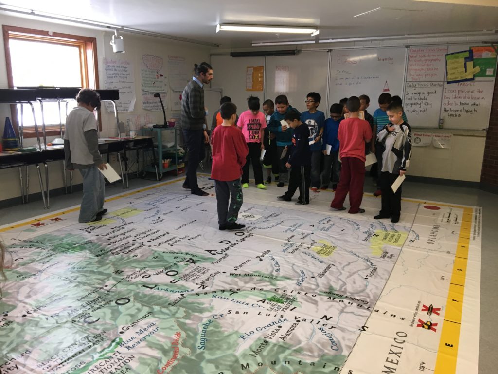
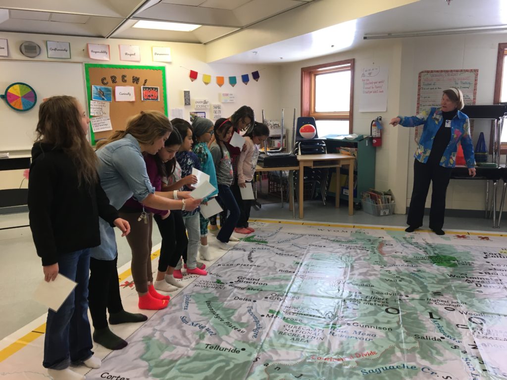
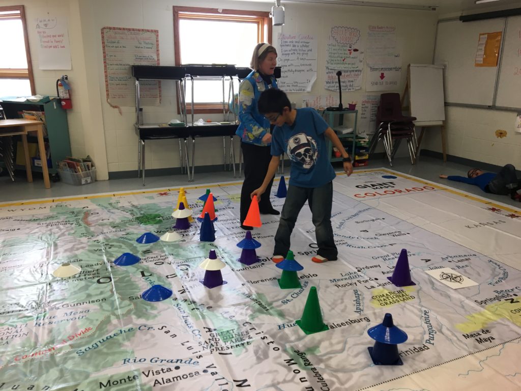
4th Grade learning with giant maps!
4th Grade Expedition teacher, Emily Blau, and her students got to play and learn on a giant National Geographic map of Colorado borrowed from our very generous partners at Eagle County Schools. 4th graders explored census data to map population changes over time — from the 1890s when Leadville was among the 15 largest cities in the state to 2010 when Denver and its surrounding suburbs have taken over as the majority of the top 15 cities. Big thanks to Eagle County Schools for loaning us their giant map and to Rebecca Theobold from the Colorado Geographic Alliance who came up to Leadville on February 15th to work with Emily on using the giant map for instruction. Geographic awareness of our state is part of a broader set of place-based skills that help students get a sense of where they are in relation to the larger world – natural and otherwise. It is also part of the 4th Grade Colorado State Standards.


